June, 2020
Day 1. Monday, June 1
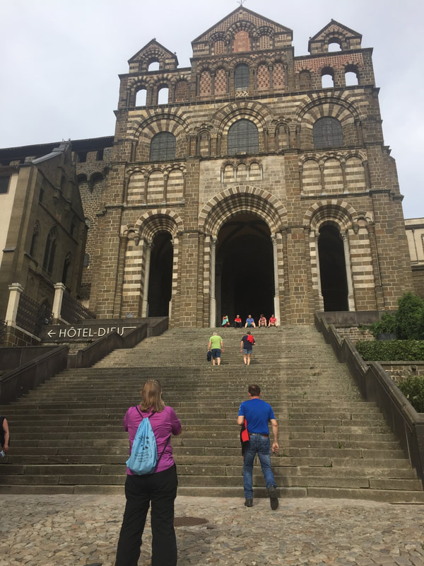
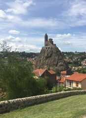
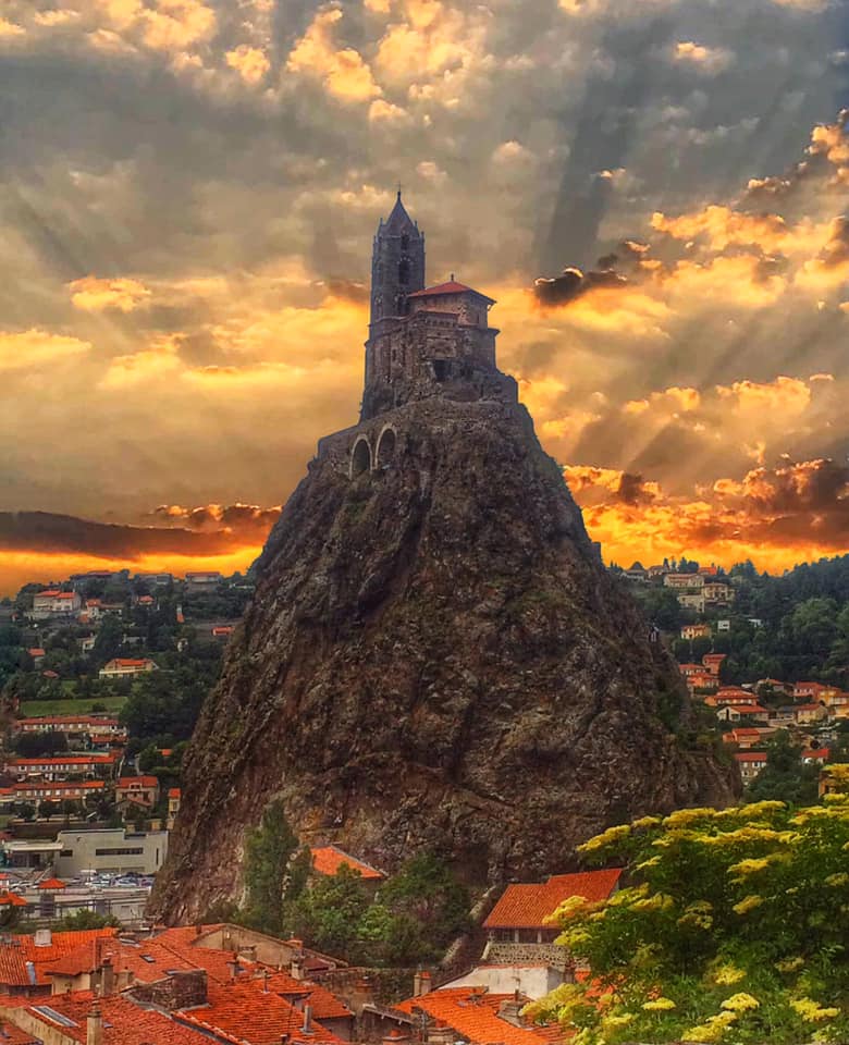
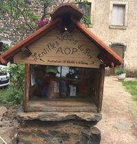
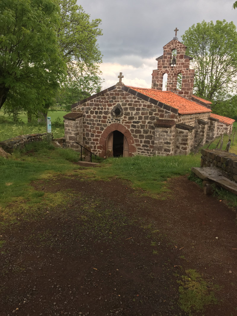
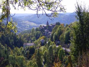
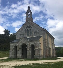
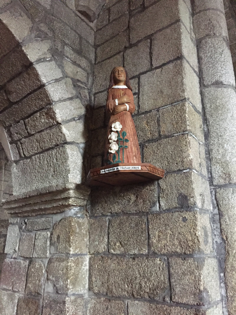
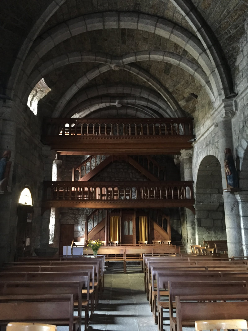
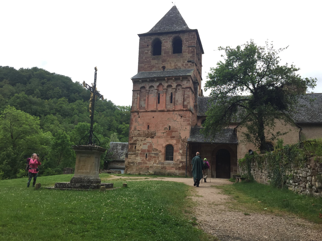
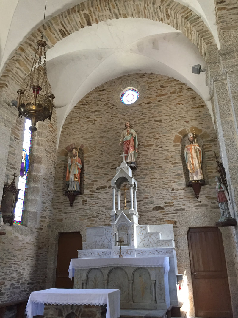
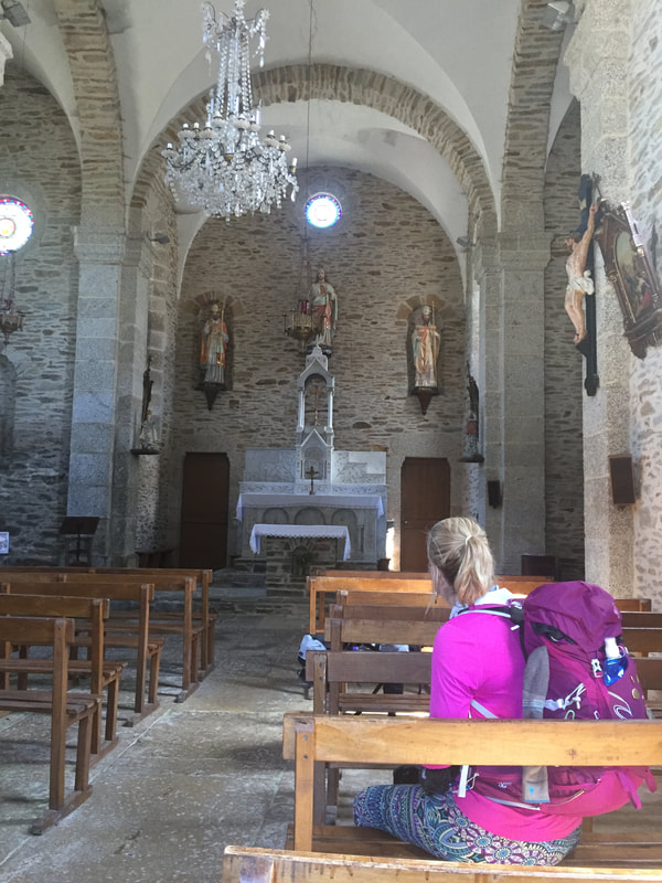
Le Puy-en-Velay is our starting point. The center photos are of the Chapel of Aiguile, which means "needle". Peg took the photo on the left. The one on the right was taken by Marie Lakorky and posted to the Facebook group Way of St James.
Le Puy-en-Velay is our starting point. The center photos are of the Chapel of Aiguile, which means "needle". Peg took the photo on the left. The one on the right was taken by Marie Lakorky and posted to the Facebook group Way of St James.
Tuesday, June 2
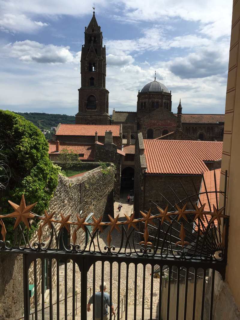
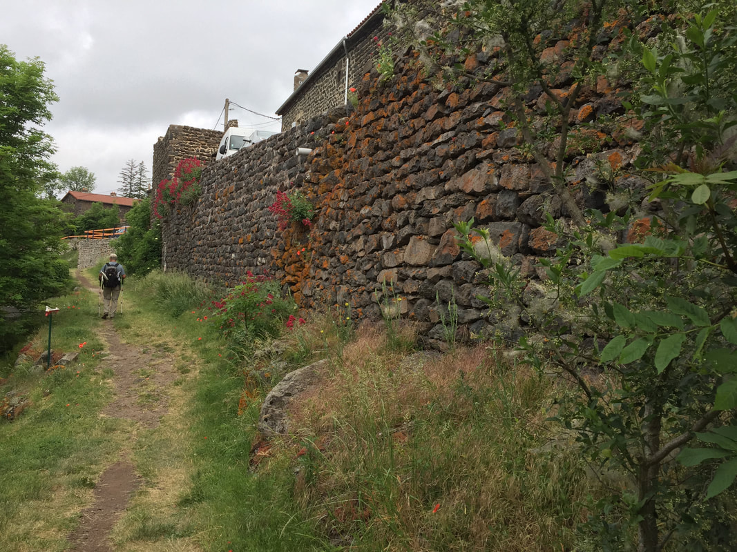
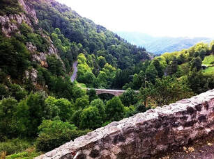
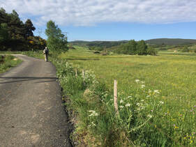
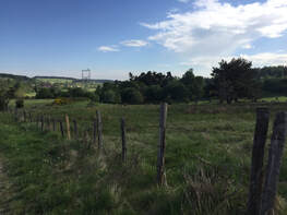
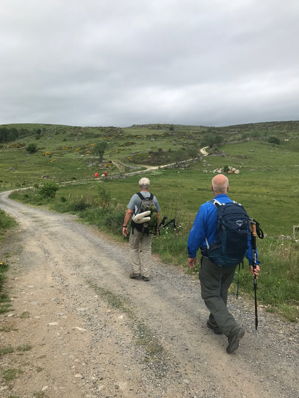
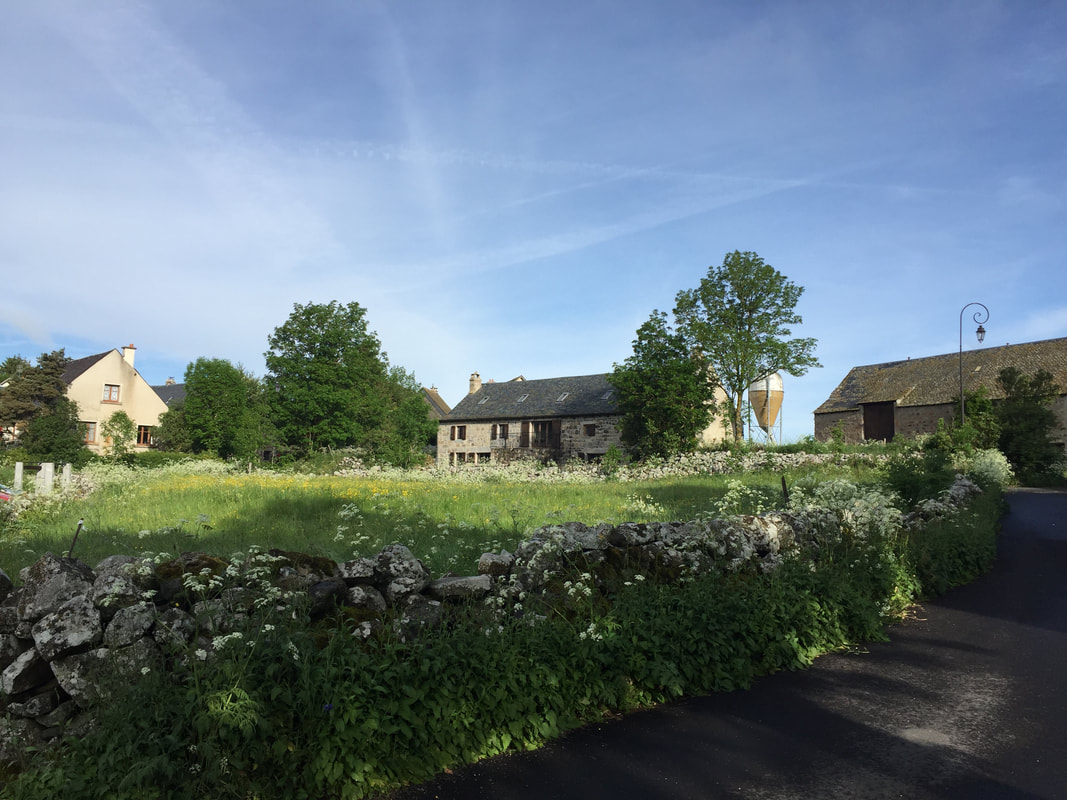
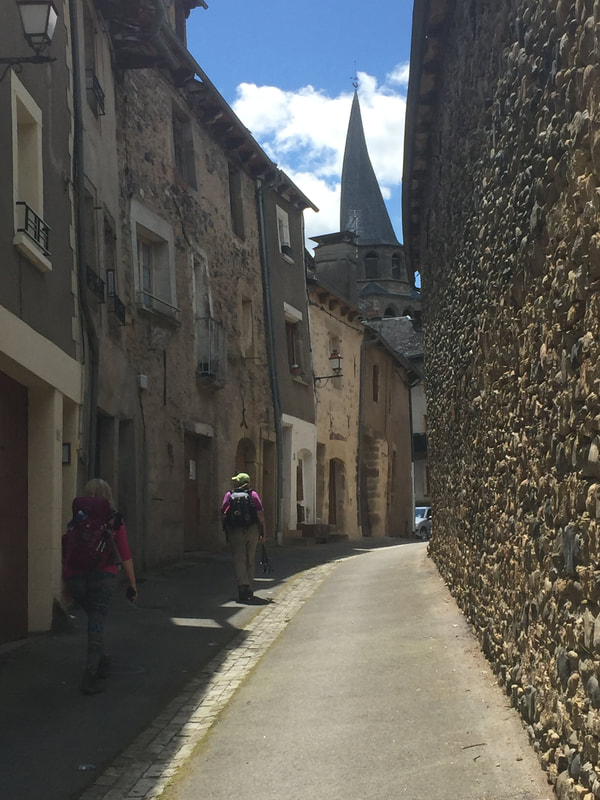
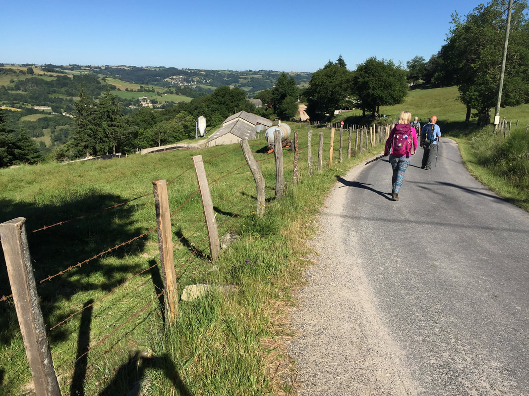
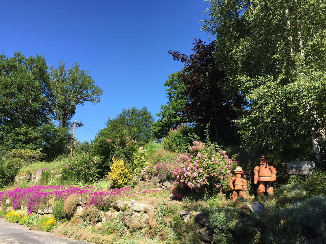
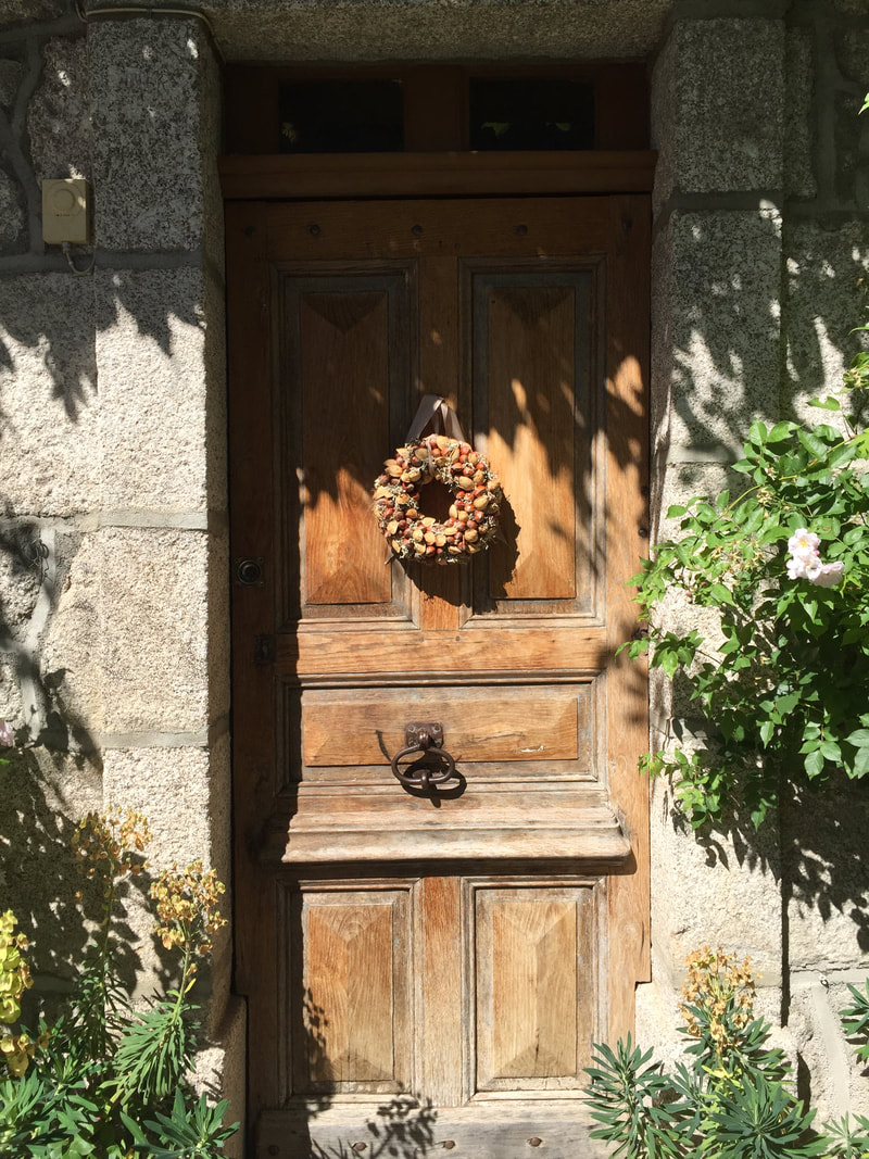
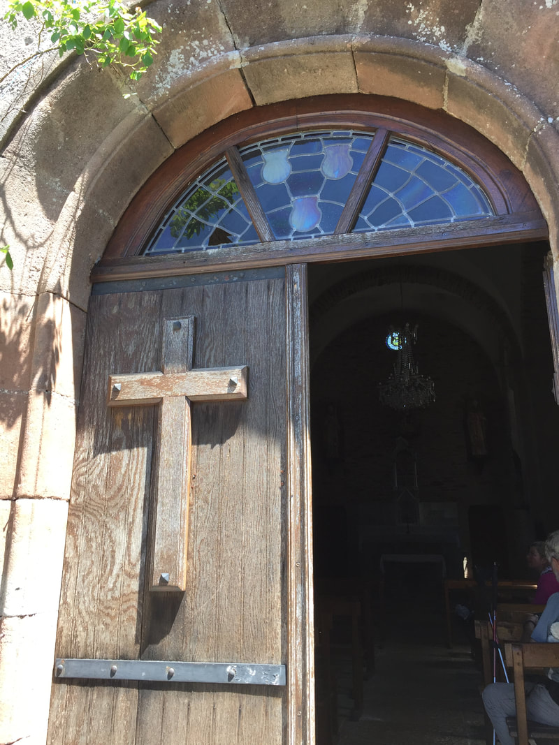
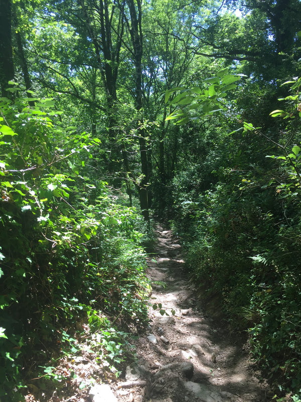
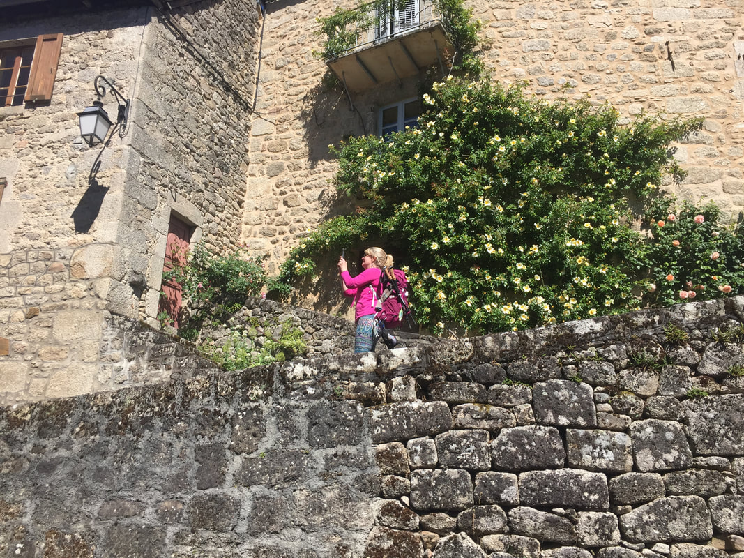
Day 2. We walked 3.6 miles (5km) today. Leaving Le Puy, here is what we would see.
Day 2. We walked 3.6 miles (5km) today. Leaving Le Puy, here is what we would see.
Day 3. June 3, 4.8 miles (7km) Today would bring us to Montbonnet where we stayed in 2017.
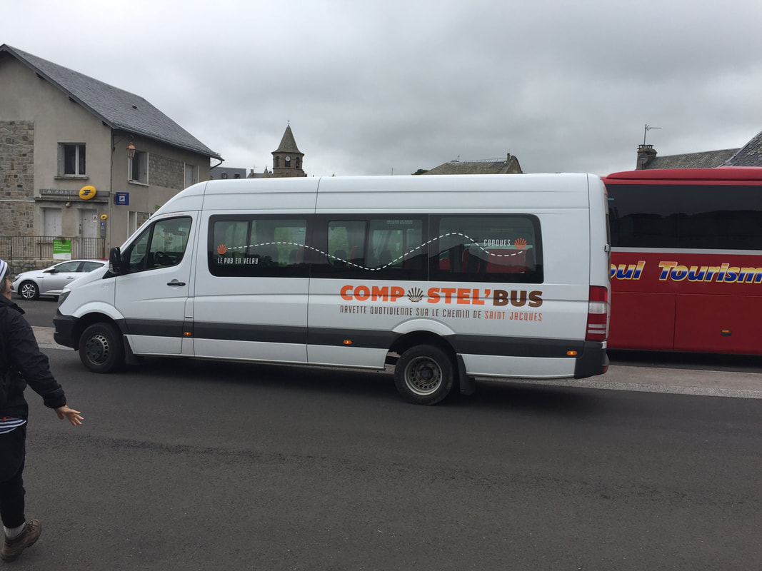
Day 4. June 4, 5.0 miles (7.6km) This would take us to St-Privat d'Allier. There is a steep hill downhill and a steep uphill between Montbonnet and Sauges. We took a bus in 2017.
Day 5. June 5, 4.0 miles (6km) Today's walk would take us part way to Monistrol d'Allier
Day 6. June 6, 2.7 miles (4km) in the rain on our virtual Camino. We would arrive in Monistrol d'Allier, at the bottom of the killer downhill. It is all hills in this area. We were still on the bus.
Week 1 completed.
Day 7. June 7, 3.6 miles (5.5km) in the rain again on our virtual Camino . We have walked about 24 miles (36km) and would be a day's walk away from Saugues.
Day 7. June 7, 3.6 miles (5.5km) in the rain again on our virtual Camino . We have walked about 24 miles (36km) and would be a day's walk away from Saugues.
Day 8. June 8, 3.1 miles (4.7km) in the rain, yet again getting soaked to the skin on our virtual Camino. Today would have brought us to Saugues, at the top of the killer uphill.
Day 9. June 9, 4.8 miles (7km) in the sun. Today would have taken us to La Clause.
Day 10. June 10, 4.1 miles (6.2km). We would have finally been through the two "killer hills". In 2017, we exited the bus along this part of the route at Villeret d'Apchier and walked on from there.
Day 11. June 11, 4.7 miles (7km). We would reach Chapelle St Roch.
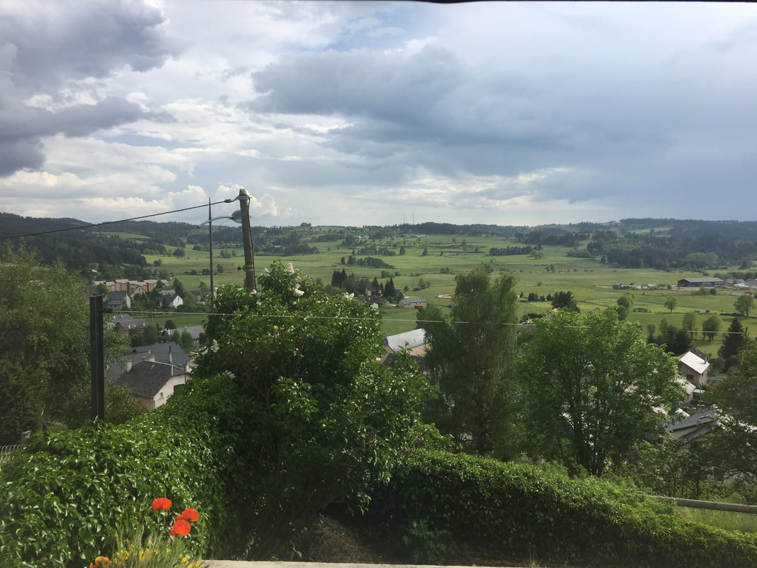
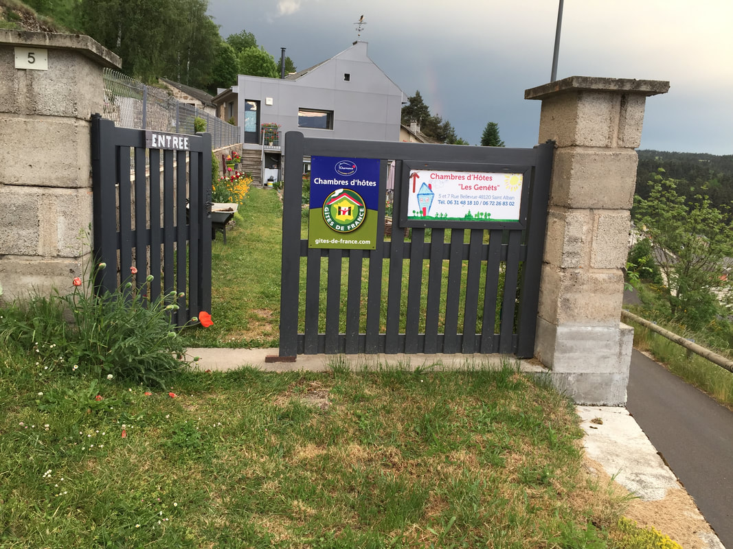
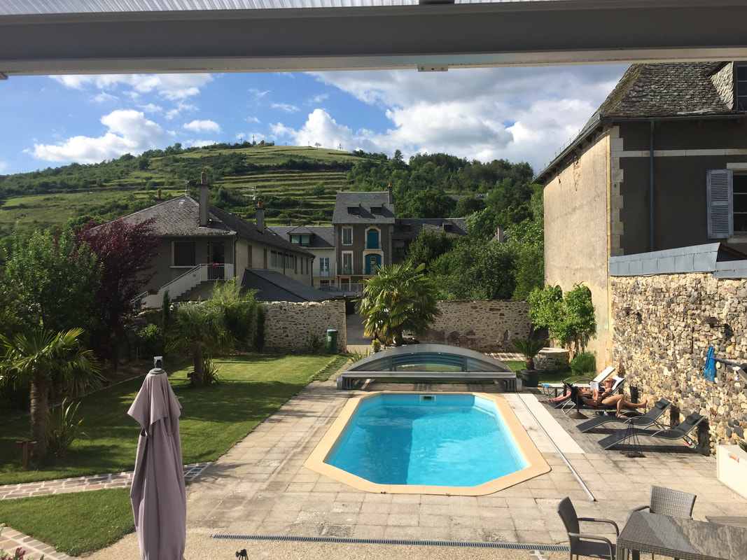
Day 12. June 12, 4.8 miles (7km). Today would bring us to St-Alban-sur-Limagnole, where in 2017 we stayed at the Chambre d’hôtes Les Genêts.
Day 13. June 13, 4.8 miles (7km). A beautiful, sunny, not-too-hot day for walking in Florida. If we were in France, we would have reached Les Estrets.
Week 2 completed.
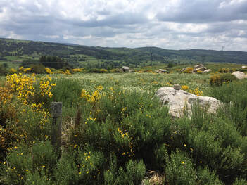
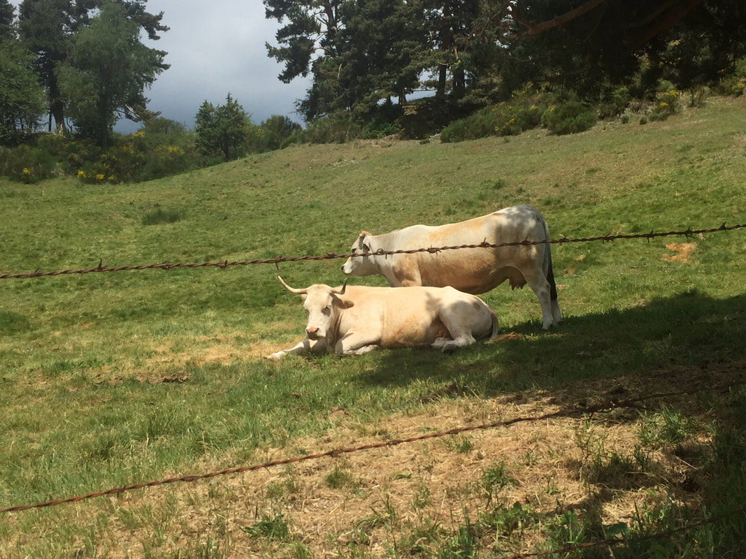
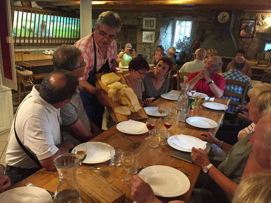
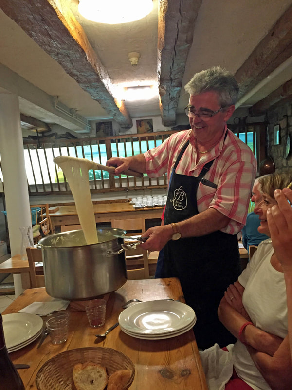
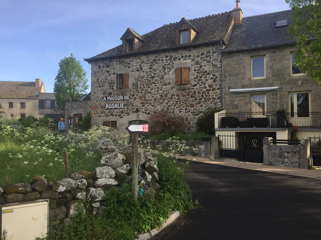
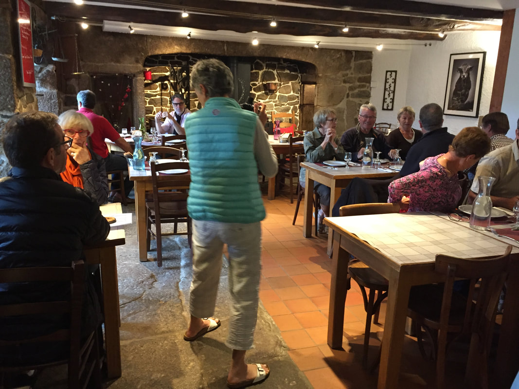
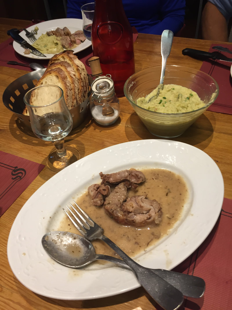
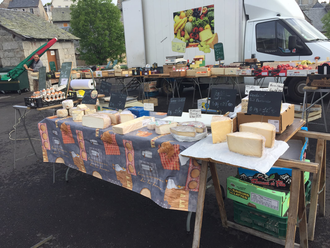
Day 14. June 14, 4.8 miles (7km). We would have arrived in Aumont Aubrac, having walked a total of 62 miles (93km). Aumont Aubrac is know for its cows, cheese (including stretchy aligot made by our innkeeper at La Ferme du Barry), and beautiful fields.
Day 14. June 14, 4.8 miles (7km). We would have arrived in Aumont Aubrac, having walked a total of 62 miles (93km). Aumont Aubrac is know for its cows, cheese (including stretchy aligot made by our innkeeper at La Ferme du Barry), and beautiful fields.
Day 15. June 15, 3.6 miles ( 5km). Our virtual Camino was shorter today. We would have walked out of Aumont Aubrac to Lasbros.
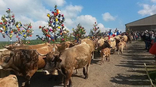
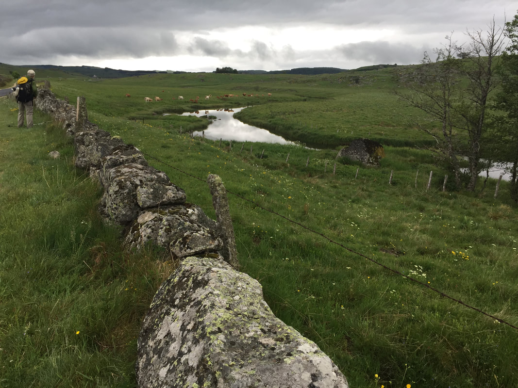
When we walked in this region of France in 2017, we were careful to avoid the major tourism event, Transhumance. We missed it by a week, and otherwise would have had a very hard time getting a place to stay. The celebration is on the Sunday closest to May 25. We were there on June 2. The festival attracts thousands of people. Transhumance is the moving of the cattle from the winter pastures in the valley to the summer pastures on the Aubrac plateau.
When we walked in this region of France in 2017, we were careful to avoid the major tourism event, Transhumance. We missed it by a week, and otherwise would have had a very hard time getting a place to stay. The celebration is on the Sunday closest to May 25. We were there on June 2. The festival attracts thousands of people. Transhumance is the moving of the cattle from the winter pastures in the valley to the summer pastures on the Aubrac plateau.
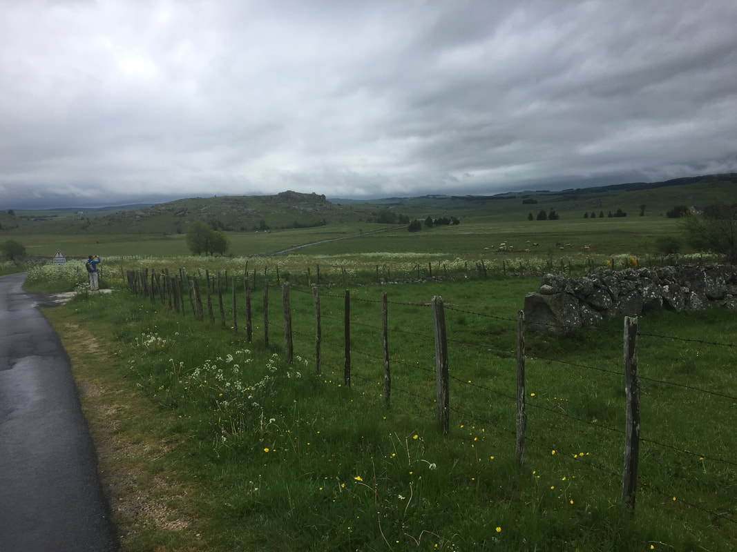
Day 16. June 16, 5.2 miles (8km). We would still be on the Aubrac Plateau, formed by volcanos and crossed by Roman legions as well as pilgrims of past centuries on their way to Santiago. Today we would arrive in Les Gentianes. It was a rainy June 3 in 2017 when we walked here. Pam and James joined us at Les Quatres Chemins and walked the rest of the way with us to Conques.
Day 17. June 17, 4.5 miles (7km). We have a beautiful morning for our walk in Gainesville. Weather is a constant companion on the Camino and I can't resist mentioning that both today and yesterday we walked in breezy mid 60's Florida air. Delightful.
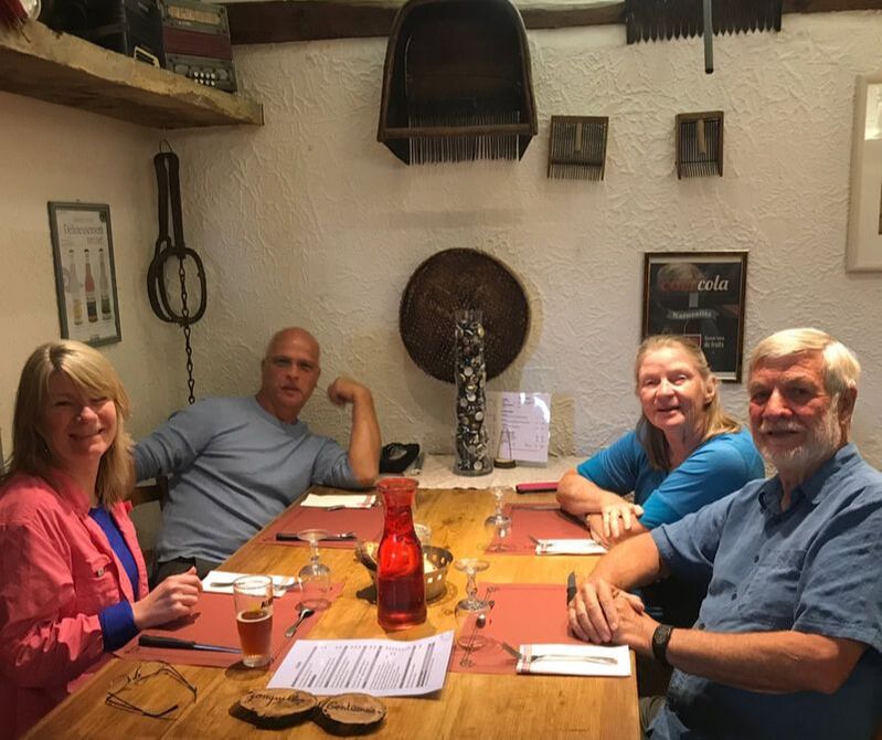
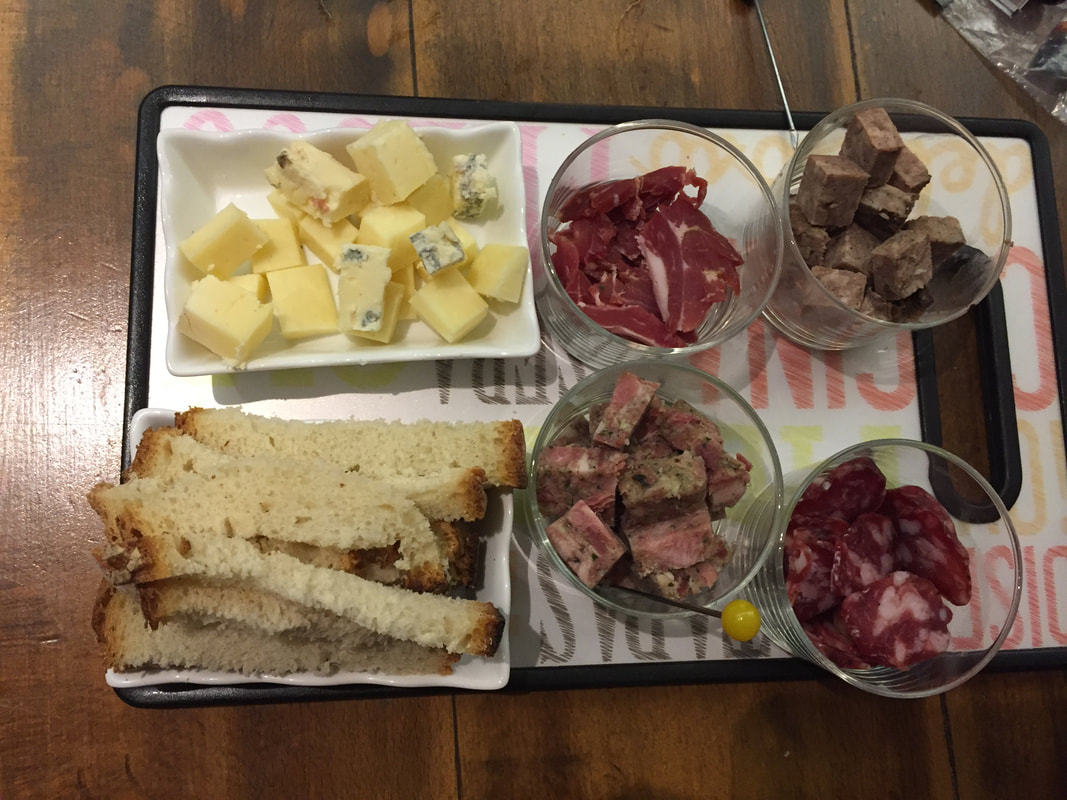
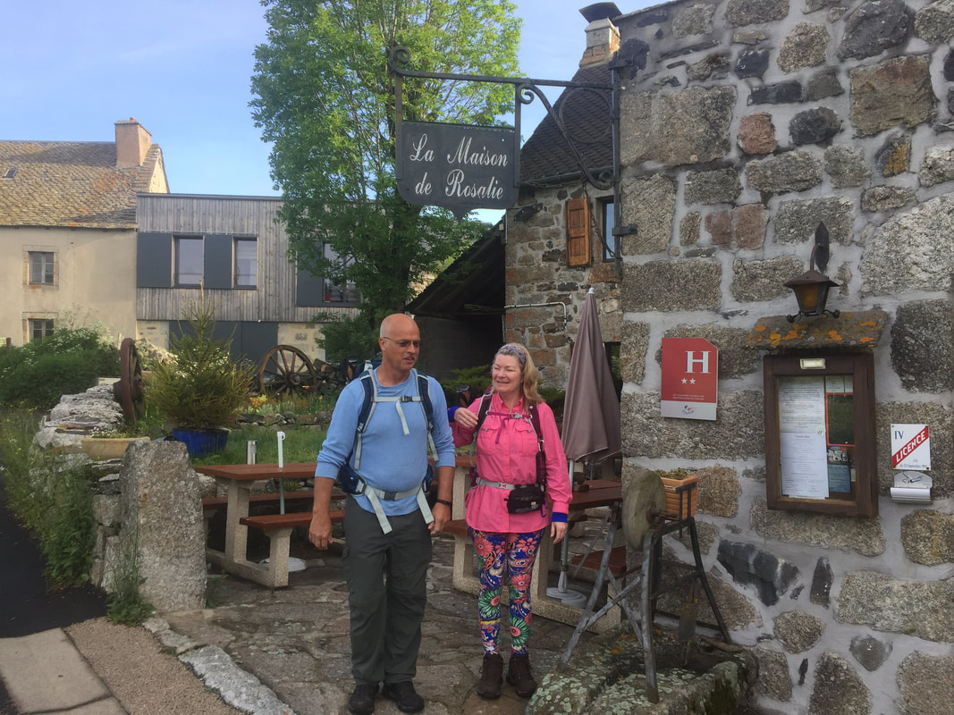
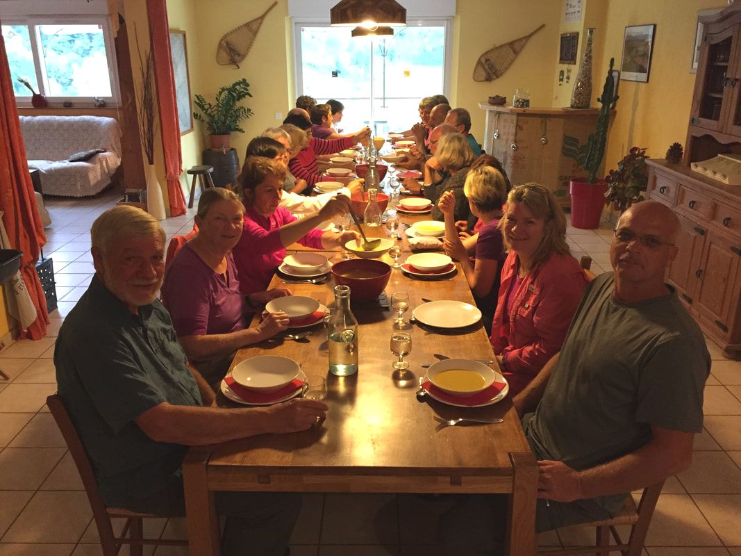
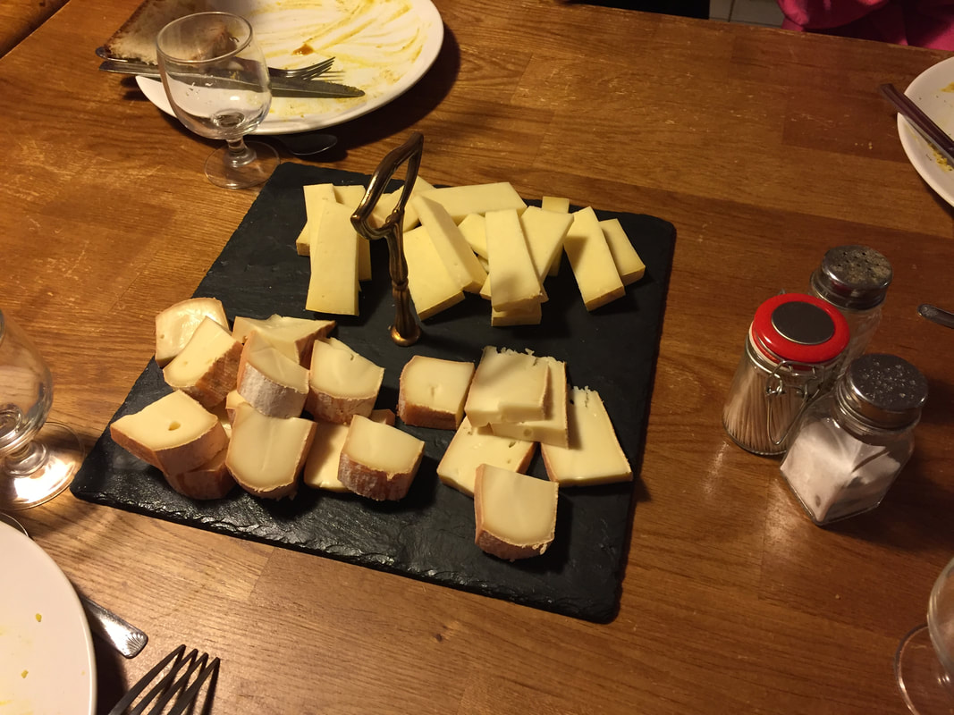
On our virtual Camino, we would have arrived in Montgros. In 2017, we arrived there in early afternoon in a deluge of rain. Our boots and about everything else were soaked through. In hopes of having them a bit drier by morning, we stuffed our boots with newspaper the innkeepers provided. We had great sympathy for pilgrims who had not reserved at this inn because it was booked up and they had to continue in the storm for 3km to the next town. We, on the other hand, showered, changed into dry clothes, and spent the afternoon relaxing while having cheese and wine, followed by an excellent country dinner.
On our virtual Camino, we would have arrived in Montgros. In 2017, we arrived there in early afternoon in a deluge of rain. Our boots and about everything else were soaked through. In hopes of having them a bit drier by morning, we stuffed our boots with newspaper the innkeepers provided. We had great sympathy for pilgrims who had not reserved at this inn because it was booked up and they had to continue in the storm for 3km to the next town. We, on the other hand, showered, changed into dry clothes, and spent the afternoon relaxing while having cheese and wine, followed by an excellent country dinner.
Day 18. June 18, 5 miles (7.5km). A sunny, humid day in Florida. In 2017, in France, the rain had stopped. Our boots were almost dry. We walked 3km to Nasbinals, where we spent most of the morning exploring. We visited the plaza, the farmers market, and the cathedral. We happened upon an auto rally in town. We took a late morning bus to Aubrac where the virtual Camino ends today. On tomorrow's virtual Camino, we will descend from the Aubrac plateau. Prepare for sore knees!
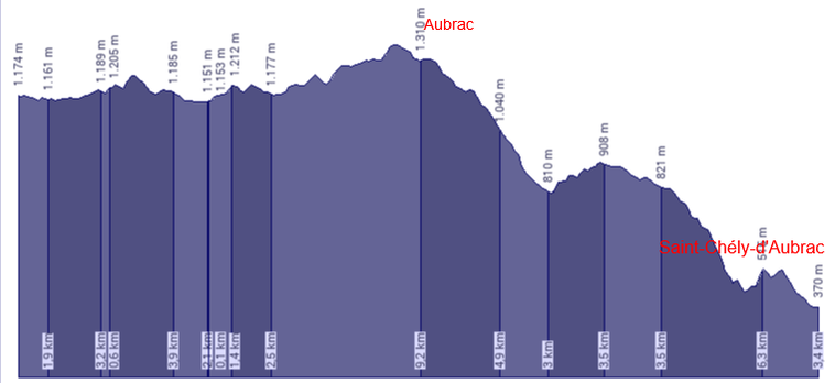
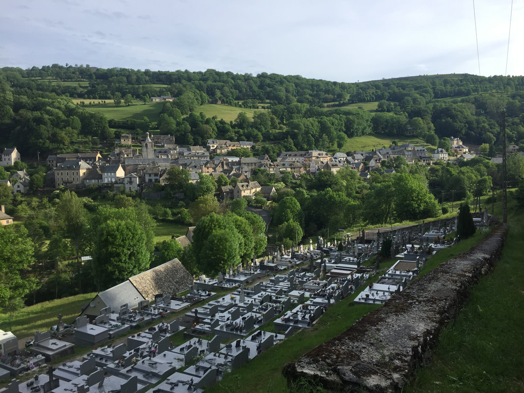
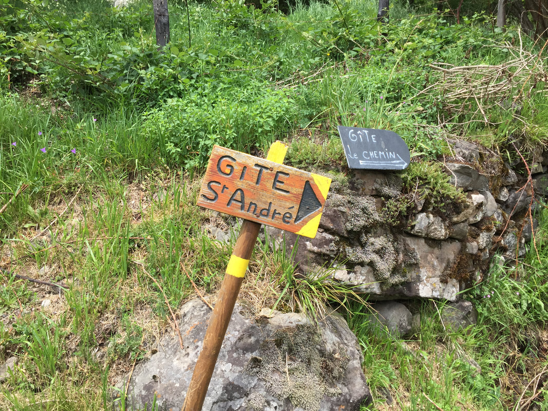
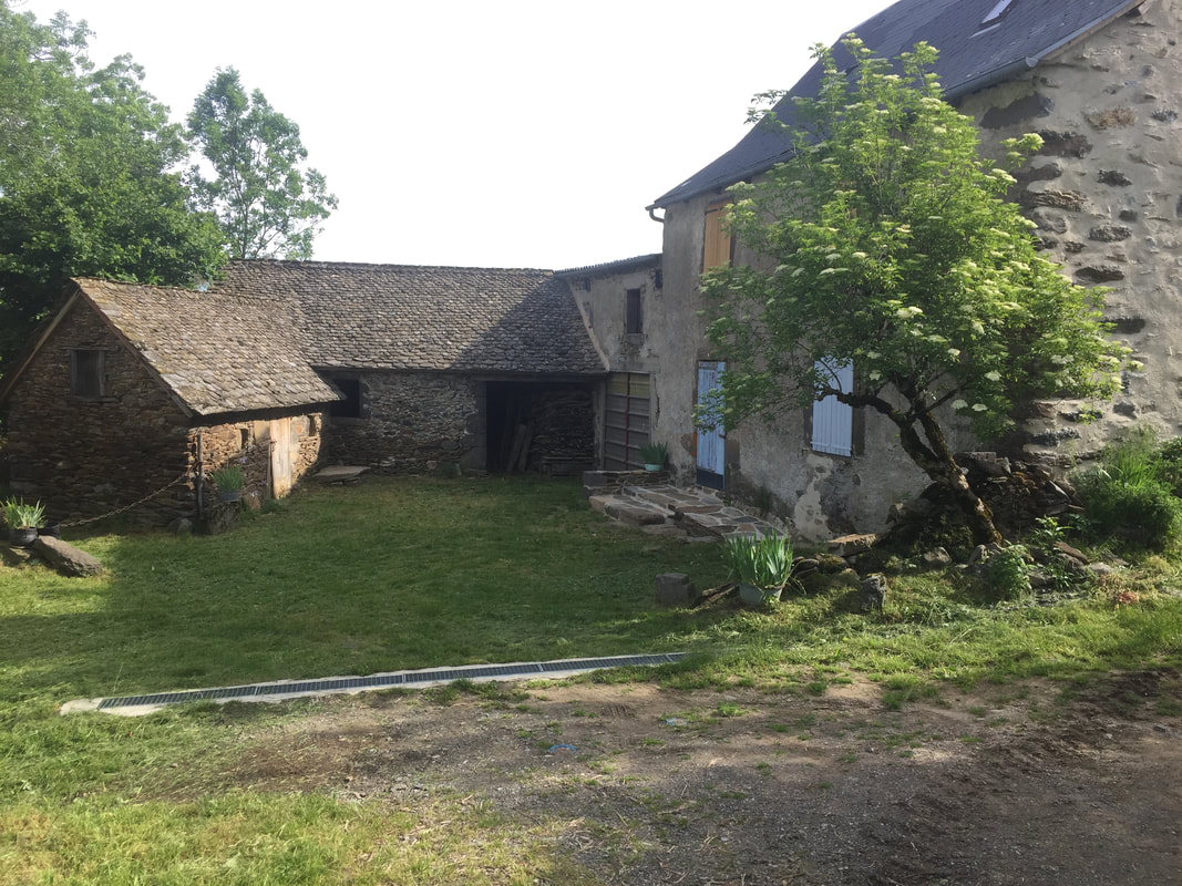
Day 19. Friday, June 19. We walked 4.8 miles (7km) in Florida's hot, humid sunshine today. Of course, there were no hills. On our virtual Camino, we would have walked downhill! from Aubrac to Saint-Chély-d'Aubrac, where in 2017 we stayed at the Gîte Saint-André.
Day 20. June 20 in Cedar Key. We walked 2.9 miles (4km) after doing yard work. We watched the crew working on building the living shoreline along Airport Road, let Stela take a little swim, and enjoyed the breeze along the runway, while it lasted. Had one Cedar Key moment when a friend drove by and stopped in the road to chat. Some small-town, island-life moments warm the heart.
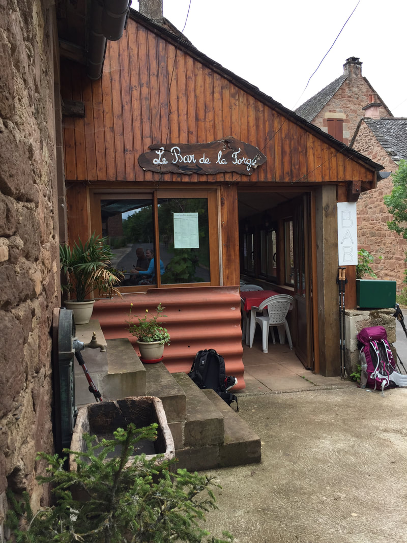
On our virtual Camino, we would have walked to Lestrade, where there is a bar to rest and have a café au lait. The route continued on a gentle downhill, in the woods and beautiful.
On our virtual Camino, we would have walked to Lestrade, where there is a bar to rest and have a café au lait. The route continued on a gentle downhill, in the woods and beautiful.
|
Week 3 completed.
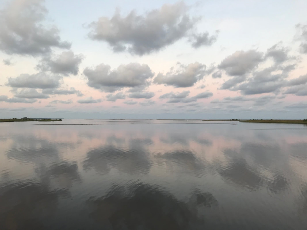
Day 21. June 21, Summer Solstice. We have walked 87 miles (132km). We went to Shell Mound for the solstice sunrise this morning. Pink and pretty reflections in the waters near the native people's burial ground. Back on the island, we walked 2.9 miles (4km) to the airport. Our virtual Camino continues in the forest and fields, sloping down to the Lot Valley. |
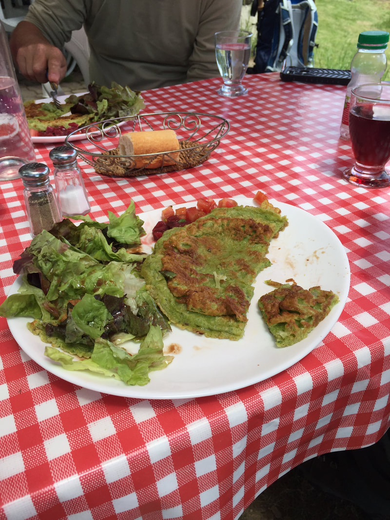
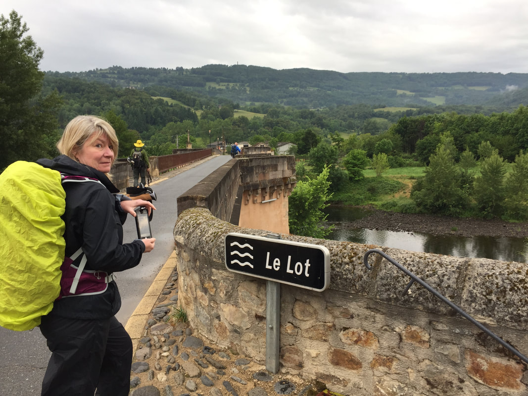
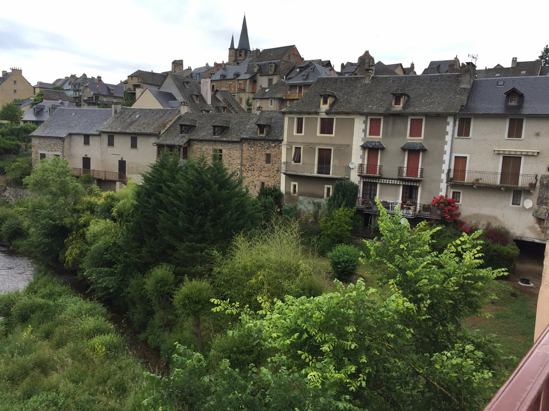
Day 22. June 22, 5.2 miles (8km). Today's walk would have brought us to the beautiful little city of Saint-Côme-d’Olt on the Lot River. We stayed there in 2017. Along the way, we stopped for lunch at a farmhouse with a small restaurant. Here we discovered farçous, swiss chard pancakes, made from a recipe of the farm owner's grandmother. Yum!
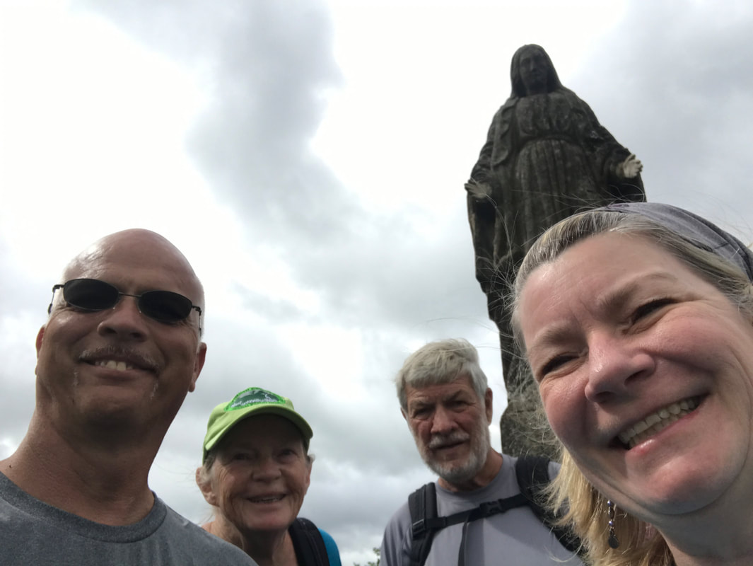
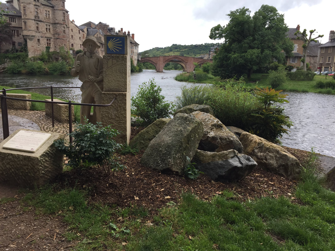
Day 23. June 23, 5.2 miles (8km). Today's walk would bring us to Espalion, on the Lot River. There were two paths to walk from Saint-Côme-d’Olt to Espalion, one along the river and the other up a steep mountain trail to a stone statue of the Virgin Mary and then down the steep path into town. Of course, the mountain trail was longer. And, of course, we missed the marker to the river trail. And, it rained! Ah, the adventures of walking the Camino. Today in Florida was a decidedly less difficult walk.
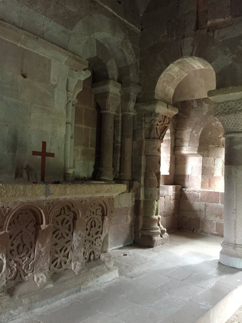
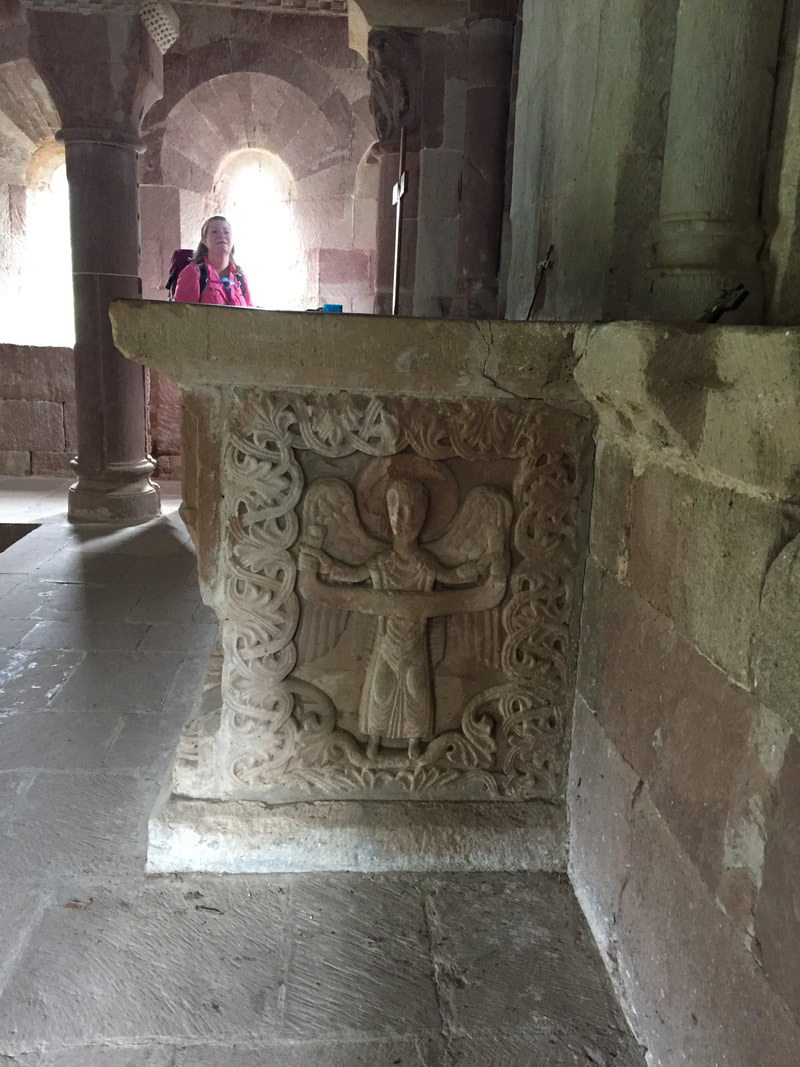
Day 24. June 24, 2.2 miles (3km). Short walk today, giving Russ' bum knee a break. We would be continuing along the River Lot. We found a beautiful chapel just beyond Espalion. It was a highlight of all my Camino walks. The upstairs was like visiting a pyramid.
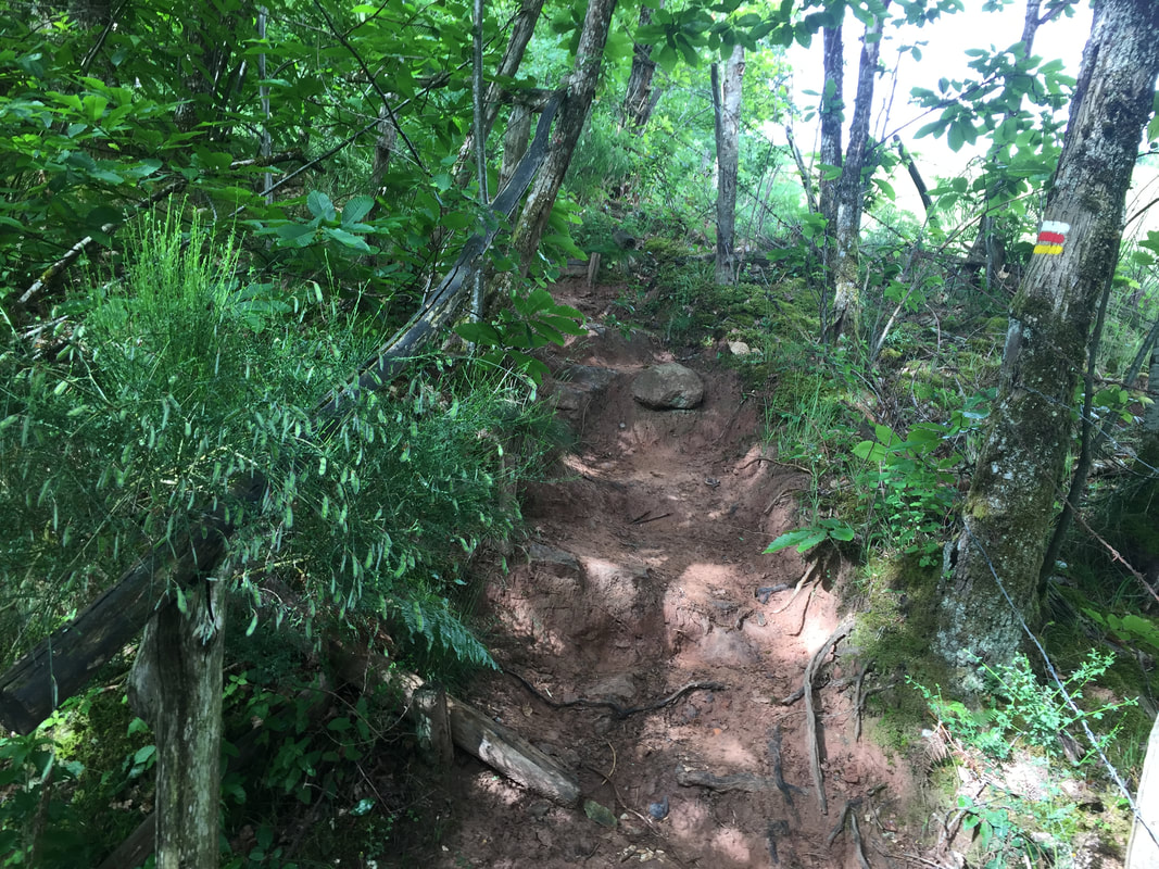
Day 25. Our 54th Anniversary. June 25, 2.8 miles (4km). Today's walk would continue along the path between Espalion and Estaing. After the rolling fields and beautiful chapel yesterday, today we would have a steep uphill that would bring us to a charming cafe in the middle of nowhere. We rested there and discovered Orangina, which has been a celebration drink ever since. Immediately after that welcoming place, we climbed a scary, slick rock hill in the woods. I took no photos while climbing it!
Day 26. June 26, 4.3 miles (6.5km). Today's walk would take us through the pretty little town of Verrièrres to Estaing where we stayed in 2017. In the final few miles before Estaing, the trail dropped to an unbusy road along the river. Almost immediately, it turned to climb to a ridge in the woods way above the road. We opted to stay on the nice flat road into town. When we walked this section, we covered the whole distance from Saint-Côme-d’Olt to Estaing, including our mistaken detour up to the stone virgin, in one very long day's walk. We welcomed the flat road for the final mile of our rocky, hilly, challenging 14-mile day.
Day 27. June 27, 3.1 miles (4.7km). Our first 2 miles would have been along the river, heading west from Estaing. Then, we start to climb again, steeply.
Week 4 completed.
Day 28. June 28, 4.2 miles (6km). This map shows the elevations of the trail that we covered in Week 4 on our virtual Camino . . . a very hilly week. Today's miles would have climbed us to the top of that steep hill after the river walk out of Estaing and on toward Golinhac.
Day 28. June 28, 4.2 miles (6km). This map shows the elevations of the trail that we covered in Week 4 on our virtual Camino . . . a very hilly week. Today's miles would have climbed us to the top of that steep hill after the river walk out of Estaing and on toward Golinhac.
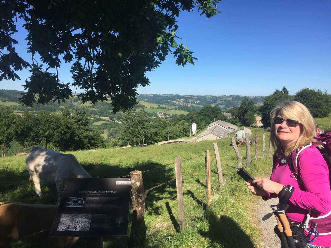
Day 29. June 29, 3.5 miles (5.3km). Today's walk would have brought us past Golinhac toward Espeyrac.
Day 30. June 30, 3.5 miles (5.3km). On to Espeyrac, with its lovely church and stone walled streets. Then, up the hill before Conques, and down the very steep trail into town, where we stayed in a monastery.
